- Summary
- This platform enables users to solve crimes and save time by providing real-time location tracking across multiple cities and counties. The service utilizes advanced AI and machine learning to deliver detailed street-level search capabilities for over 1,000 cities, offering high accuracy at the meter level. Furthermore, the technology supports nationwide coverage and performs scene-to-structure image matching to match objects across multiple images, making complex searches feasible within a 150 km radius. By integrating with Graylark, the system can help officers apprehend dangerous fugitives, allowing them to capture evidence and locate suspects in under 20 minutes.
Our platform is designed to transform standard law enforcement operations, offering a mission-ready solution for investigators. With capabilities including custom city availability, meter-level accuracy, and extensive property search features, the system helps agencies enhance their investigative capabilities and stay agile in an evolving technology landscape. - Title
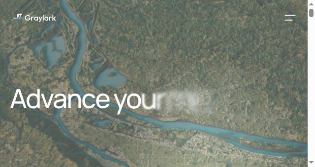
- Graylark - Advance your mission success
- Description
- Graylark develops advanced AI tools like GeoSpy to help law enforcement, government, and enterprise teams extract location intelligence from images.
- Keywords
- demo, intelligence, cities, search, watch, platform, contact, image, solutions, operations, location, enforcement, coverage, street, level, mission, offer
- NS Lookup
- A 52.223.52.2, A 35.71.142.77
- Dates
-
Created 2025-11-09Updated 2025-11-09Summarized 2026-03-22
Screenshot
Query time: 2572 ms


