- Summary
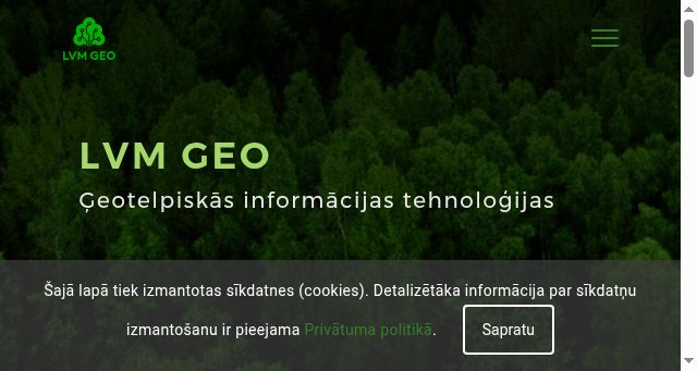
- LVM GEO is a comprehensive geographic information system for forestry, mining, and infrastructure management. The platform offers a full suite of data products, including detailed terrain models for relief, land cover analysis, and elevation measurements, alongside precise geological data such as mineral resources and surface stability risks. It integrates advanced remote sensing technologies, particularly Sentinel-2 satellites and LiDAR scanners, to generate high-resolution orthophotos, aerial imagery, and topographical maps with standard sizes of 1:75,000 and 1:50,000 scales. Users can utilize a robust suite of mobile applications, Web Lite versions, and desktop tools like ArcGIS Toolkit, Python, and AutoCad to manage and analyze complex datasets on various terrain types. Key functionalities include automatic classification systems, mine exploration mapping, flood risk assessment, and advanced predictive maintenance strategies. The software emphasizes real-time data analysis, allowing teams to monitor environmental conditions and track development projects continuously. It supports multi-tenant collaboration through the RiForMa initiative, ensuring secure communication and unified access across diverse operational environments. Ultimately, LVM GEO empowers forest managers to make evidence-based decisions regarding resource extraction, landscape preservation, and infrastructure construction.
- Title
- LVM GEO - Home
- Description
- LVM GEO - Home
- Keywords
- mobile, truck, kuru, last, python, core, forest, timber, works, dens
- Categories
- NS Lookup
- A 195.10.216.194
- Dates
-
Created 2026-03-10Updated 2026-04-15Summarized 2026-04-20
Screenshot
Query time: 2079 ms