- Summary
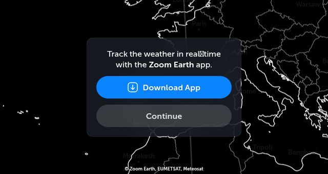
- Zoom Earth is an app that allows users to track hurricanes, storms, wildfires, and smoke events using real-time satellite imagery and rain radar. It’s available for download via a QR code.
- Title
- Zoom Earth | Weather Map & Hurricane Tracker
- Description
- Interactive weather & radar map. Track hurricanes, cyclones, storms. View LIVE satellite images, rain maps, forecast maps of wind, temperature for your location.
- Keywords
- forecast, shows, satellite, temperature, wind, radar, weather, heat, model, time, pressure, zoom, earth, speed, data, icon, hours
- NS Lookup
- A 104.26.4.90, A 172.67.68.56, A 104.26.5.90
- Dates
-
Created 2026-02-15Updated 2026-02-15Summarized 2026-03-02
Screenshot
Query time: 1268 ms


